Eastern United States Population Density 1874 Walker demographic map
Brian DiMambro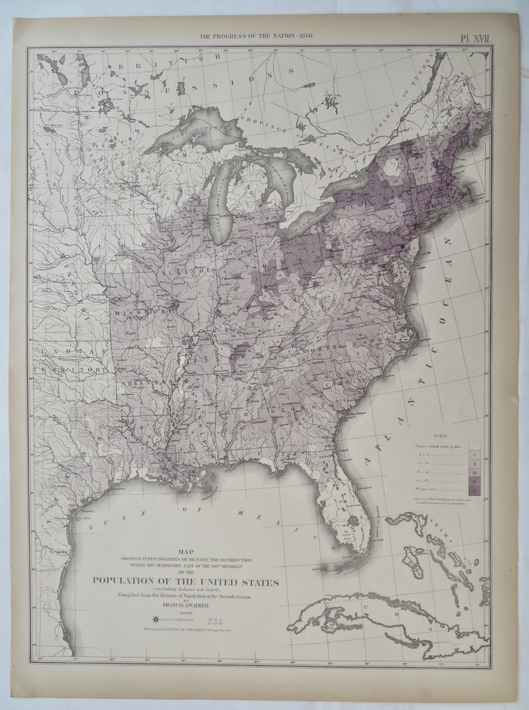
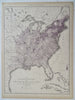
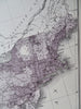
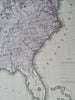
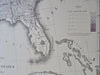
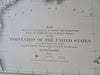
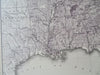
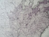
Map Showing in Five Degrees of Density The Distribution of With the Territory East of the 100th Meridian of the Population of the United States (Excluding Indians Not Taxed).
(Old Maps, 19th Century Maps, United States, Demographics, Population Density, Eastern United States).
Issued 1874, United States. Map by Walker.
Late 19th century color lithographed folio sheet thematic demographic map.
Color shaded key at right gives the density per square mile.
Well preserved, clean, a nice looking example with pleasing age patina.
Sheet Measures c. 16" H x 21 3/4" W.
Printed Area Measures c. 13 3/4" H x 20" W.
Cartographic Reference(s):
Tooley's Dictionary of Mapmakers, vol. 2.
[R32644].