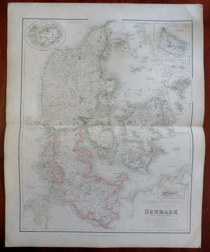
Kingdom of Denmark Copenhagen Sjaelland Jylland Iceland c. 1855-60 Fullarton map
Brian DiMambro- Antiquarian Books, Maps & Prints


Denmark.
(Old Maps, 19th Century Maps, Europe, Scandinavia, Denmark, Iceland, Holstein, Jylland, Fyn, Sjaelland, Copenhagen, Faroe Islands, Bornholm, Virgin Islands).
Issued c. 1855-60, Edinburg by A. Fullarton & Co.
Mid 19th century color lithographed map. Sheet was backed by linen at a very early date, likely by the publisher.
Insets include Iceland, Santa Cruz, Faroe Islands, Virgin Islands and Bornholm in the Baltic Sea.
Original center fold as issued.
Sheet Measures c. 18 3/4" H x 23" W.
Printed Area Measures c. 18" H x 21" W.
Cartographic Reference(s):
Tooley's Dictionary of Mapmakers, vol.2.
[R29903].
