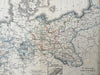
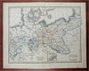
Kingdom of Prussia German Confederation Berlin c. 1844 A. Baedeker scarce map
Brian DiMambro- Antiquarian Books, Maps & Prints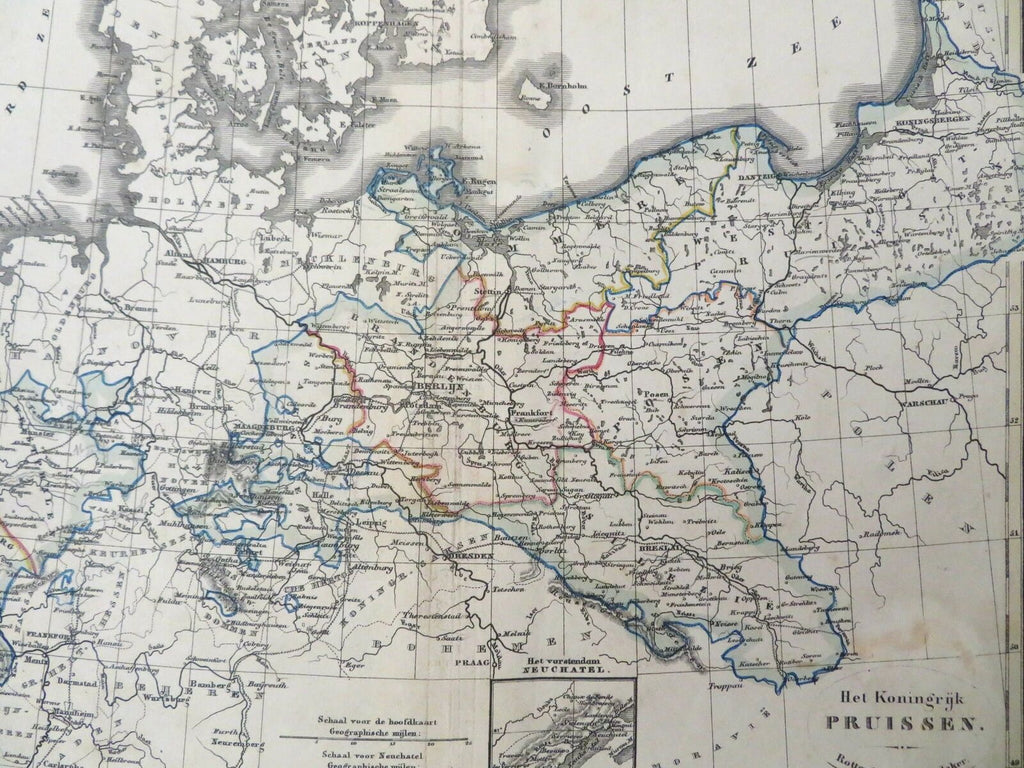
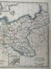
Het Koningrijk Pruissen.
(Old Maps, Europe, Germany, German Confederation, Kingdom of Prussia, Westphalia, Mecklenburg, Pomerania, East Prussia, Silesia, Posen, Neuchatel, Berlin, Magdeburg).
Issued c. 1844, Rotterdam by Adolf Baedeker & Otto Petri. Map was produced by the brother of Karl Baedeker (of guide-book fame).
Scarce mid 19th century lithographed map with original hand color.
This elusive and little known map was produced in Rotterdam, likely c.1844 or earlier since Adolph left the city for Cologne Germany in that year.
Light soiling across the map.
Original center fold as issued.
Sheet Measures c. 9 7/8" H x 12 1/2" W.
Printed Area Measures c. 8 1/2" H x 10 1/2" W.
Cartographic Reference(s):
Tooley's Dictionary of Mapmakers, vol. 1.
[R27861].