Kingdoms of Belgium and Holland Flanders Brabant 1854 Lapie large folio map
Brian DiMambro- Antiquarian Books, Maps & Prints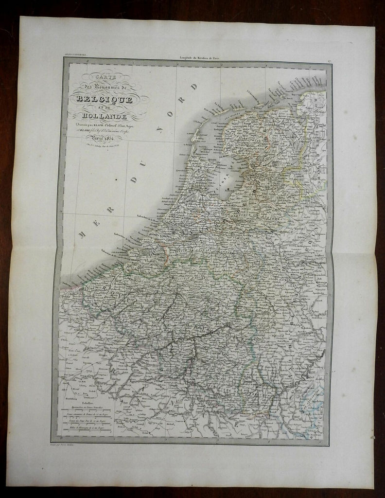
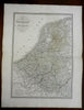
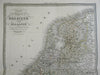
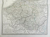
Carte de Royaumes de Belgique et de Hollande.
(Europe, Low Countries, Netherlands, Holland, Belgium, Luxembourg).
Issued 1854, Paris by Lapie.
Finely engraved large oversize mid 19th century map with original outline hand color. French text.
Nice looking example, pleasing age patina, blank margins with age spotting, faint minor spotting with map area, any minor age flaws easy to overlook or forgive. Nice looking map suitable for display.
Original center fold as issued.
Sheet measures c. 20" H x 25 1/2" W.
Engraved area measures c. 15 1/2" H x 21 1/4" W.
Cartographic Reference(s):.
Tooley's Dictionary of Mapmakers, vol. 2.
[R24676].