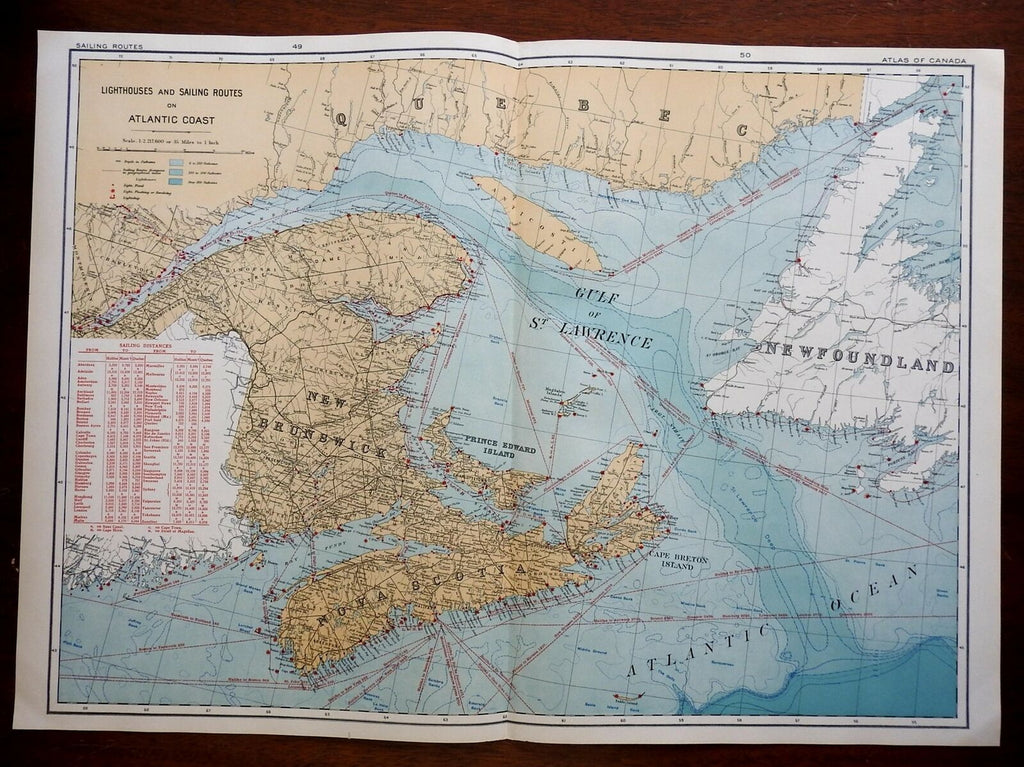
Lighthouses and Shipping Lanes Eastern Canada Quebec 1915 color lithographed map
Brian DiMambro- Antiquarian Books, Maps & Prints


Lighthouses and Sailing Routes on Atlantic Coast.
(North America, Canada, Quebec, Maritime Provinces, New Brunswick, Nova Scotia, Prince Edward Island, Lighthouses, Shipping Lanes).
Issued 1915, Canada.
Early 20th century color lithographed map. Interesting and unusual large format map with an unusual focus.
Well preserved, nice looking example with pleasing age patina.
Original center fold as issued.
Sheet Measures c. 17 1/4" H x 24" W.
Engraved Area Measures c. 16" H x 22" W.
[R24037].
