Lincolnshire United Kingdom County Map Lincoln Humber River 1830's Cary map
Brian DiMambro- Antiquarian Books, Maps & Prints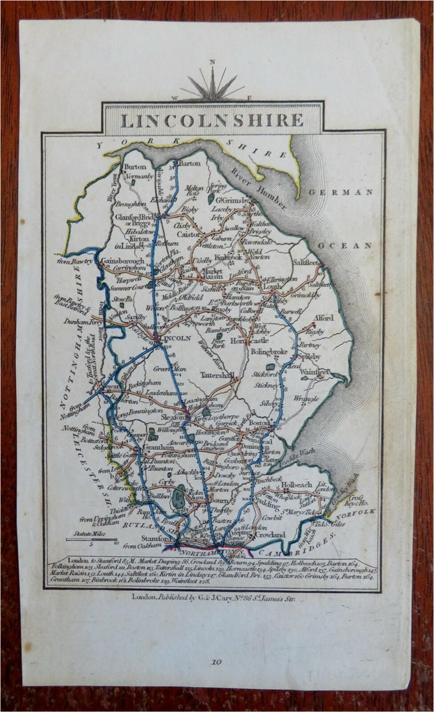
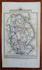
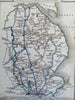
Lincolnshire.
(Old Maps, 19th Century Maps, Europe, British Isles, United Kingdom, England, Lincolnshire, Lincoln, Humber River).
Issued c. 1830's, London by G. & J. Cary.
Early 19th century engraved map with original outline hand color.
Well preserved, nice looking example with pleasing age patina.
Sheet Measures c. 7" H x 4 1/4" W.
Engraved Area Measures c. 5 1/2" H x 3 1/2" W.
Cartographic Reference(s):
Tooley's Dictionary of Mapmakers, vol. 1.
[R28433].