Railroad & County large map of Manitoba Canada Winnipeg 1888 Cram map
Brian DiMambro- Antiquarian Books, Maps & Prints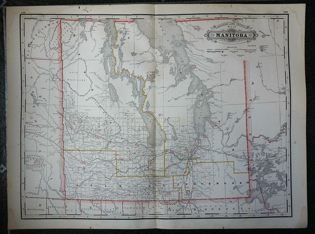

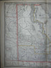
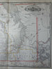
Railroad and County Map of Manitoba.
(North America, Canada, Manitoba, Winnipeg, Railroads).
Issued 1888, Chicago by George Cram.
Late 19th century color lithographed map. Not to be confused with the much smaller Cram maps of this era.
Original center fold as issued.
Well preserved, nice looking example with pleasing age patina.
Sheet Measures c. 23 1/4" x 17 1/4".
Engraved Area Measures c. 22" x 16 1/4".
Cartographic Reference(s):
Tooley's Dictionary of Mapmakers, vol. 1.
[R26680].