Russian Empire Baltic States Poland c. 1830's Brue large detailed map hand color
Brian DiMambro- Antiquarian Books, Maps & Prints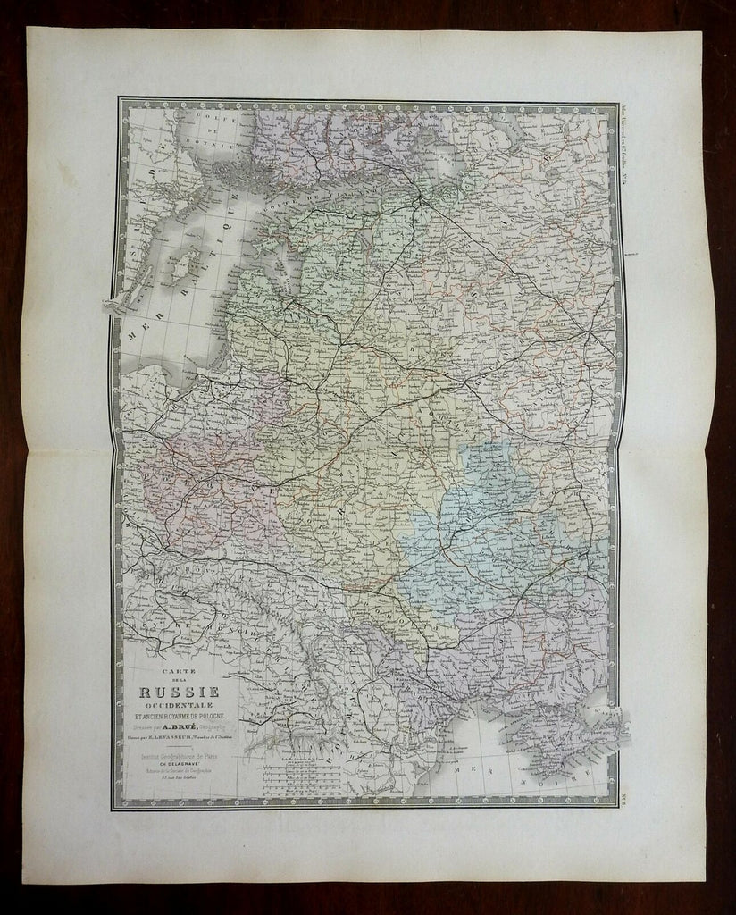
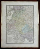
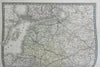
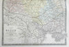
Carte de la Russie Occidentale et Ancient Royaume de Pologne.
(Europe, Russian Empire, Baltic States, Poland, Ukraine, Crimea).
Issued c. 1830-36, Paris by A. Brue. [Delagrave].
Lovely and uncommon early 19th century folio sheet antique map. Engraved with original hand color, piano key border.
Longitude given from Paris.
Minor light offsetting, but overall clean and attractive.
Original fold line as issued.
Sheet measures c. 19" x 24 1/2"
Engraved area measures c. 14" x 20"
[R24672]
Tooley's Dictionary of Mapmakers, v. 1, p. 199.