Western Europe Spain Portugal France British Isles Netherlands 1841 Boynton map
Brian DiMambro- Antiquarian Books, Maps & Prints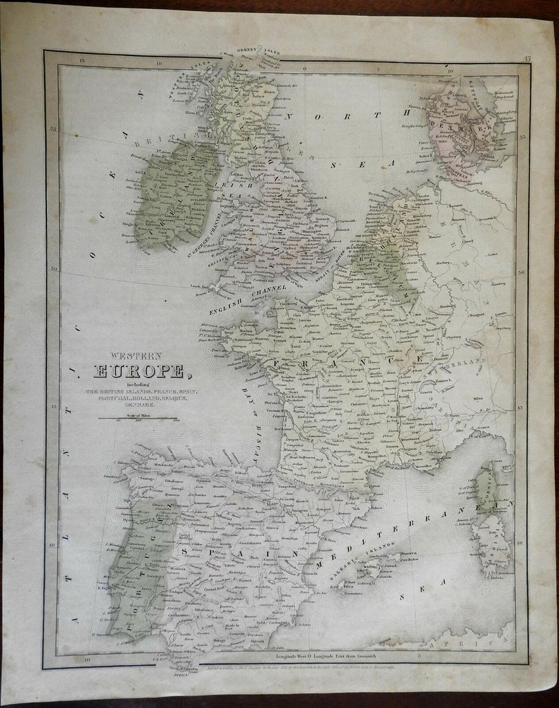

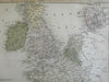
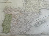
Western Europe, including The British Islands, France, Spain, Portugal, Holland, Belgium, Denmark.
(Europe, Iberia, Portugal, Spain, France, Low Countries, Belgium, Netherlands, British Isles, Ireland, United Kingdom).
Issued 1841, Boston by S. Goodrich. Engraved by Boynton.
Scarce mid-19th century engraved map with original hand color.
Sheet uniformly age toned, small spots or stains.
Nice looking example, pleasing age patina, any minor age flaws easy to overlook or forgive.
Sheet Measures c. 13" W x 16" H.
Engraved Area Measures c. 11 1/2" W x 14 1/4" H.
Cartographic Reference(s):
Tooley's Dictionary of Mapmakers, vol. 2.
[R25004].